Who knew we could walk to a castle from our doorstep! It wasn’t until I was looking at the OS map for inspiration for longer local walks that I realised that Conisbrough Castle is only 6 miles from our home. Exploring Don Gorge was also an option. SO I combined them and this is what I came up with…
I used OS maps online to plan the walk, see where the footpaths were and to see how far it would be. There would be some urban navigation but I was fairly confident that there would be plenty to see. Overall, I was surprised too see and learn more than I had expected about the area that I now call my home.
Feel free to follow this route by the letter, adapt it; make it longer, make it shorter. It’s here for inspiration.
About
Distance: ~14miles
Time: 5 hrs 30mins (including plenty of coffee break stops, taking pics and enjoying in the scenery)
Parking: During lockdown, walk from your home to Woodfield Way.
If you’re reading this and we’re not in lockdown or other restrictions, park close to Woodfield Way, Balby, Doncaster. Please be respectful of residents.
Who’s it for: Keen walkers and ramblers looking for somewhere new. Families with older children. People who can grasp a little map reading or use a map on their phone. Due to the distance and uneven terrain at times, this is not suitable for younger children or buggies.
Map: For anyone wanting the gpx or more details on the route, please get in touch.
The walk
1) Make your way onto the disused railway from Woodfield Way, Balby, Doncaster and follow it ‘up’ northwards across the A60 (Tickhill Road) and into Alverley. Once you’re at the end of the disused railway, follow the road to the left (Aldcliffe Crescent) until you see the main road (Broomhill Lane).
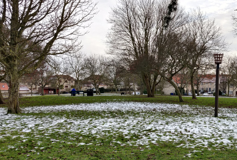
Warmsworth
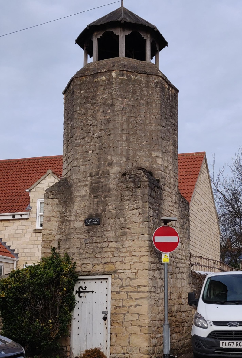
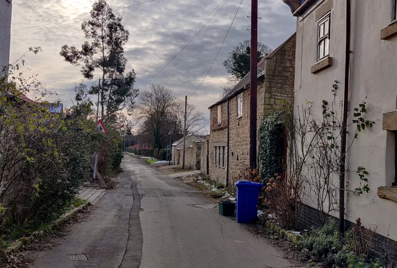
2) Go up Broomhill Lane a short distance and walk down the footpath on your right (Common Lane). It will turn into a road when you enter the old part of Warmsworth. Take in the beautiful old architecture made from the local stone (dolomite). Warmsworth was mentioned in the 11th Century Doomsday books during William I reign. There’s more historical information on the village from the Warmsworth Parish Council.
3) Carry straight on until you come to the main road (A630) with the A1 junction to your right and take a left. At the traffic lights, take a right onto Mill Lane and follow this road until you get to the footpath on the left that takes you down to the River Don.
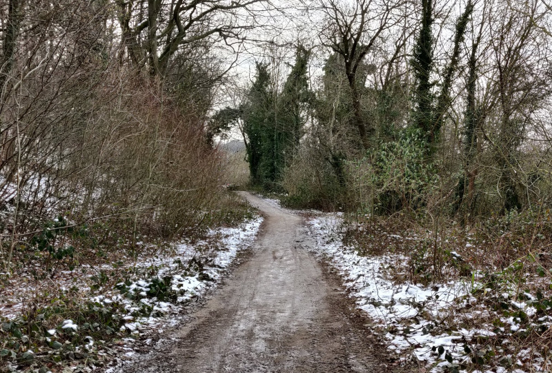
Exploring Don Gorge
4) The next part of the walk lets you explore Don Gorge along the south side of the river. There’s a lot of industrial history and heritage along this part of the Don Gorge. Hopefully you can spot and identify some of it as you pass through. Although this area was once an industrial hub, damaging the nature and wildlife living in the Don Gorge; nature has taken over again and the area is now recognized and protected for its ancient woodland.
5) Walk along the footpath and imagine 50,000 years ago, during the last Ice Age, wooly mammoths living in the area, going down to the river to drink. During the Iron Age around 800 BC, camps were set up as people travelled up through the valley.
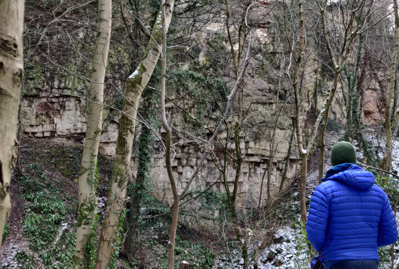
6) A few minutes you’ll notice a gap in the trees to your left. This is Near Cliff quarry which was abandoned in 1791. During the 1700s and 1800s, the Don Gorge was a center of industrial activity with the quarrying of limestone. The limestone was used in local buildings such as Conisbrough Castle (which you’ll see later) and Brodsworth Hall. The quarried limestone even went into the construction of York Minster and the Houses of Parliament.
Levitt Hagg
7) Further upstream, and you’ll come across a bench and sign post. This is the site of Levitt Hagg, an abandoned industrial hamlet built around where limestone at Far Cliff was quarried. The buildings themselves were demolished in the 1950s.
Kilns
8) Walking a little further on and you’ll notice stone constructions with semi-circles close the ground. These are the kilns. Limestone was also used to make quick lime (used to make fertilizer and in the steel making process). To make quick lime, the quarried limestone had to be processed in the large kilns which you can still see today.
The River Don would have been bustling with activity as barges transported raw materials and goods in and out of the area. Boats were also being built along the river too, although this industry was abandoned in 1901.
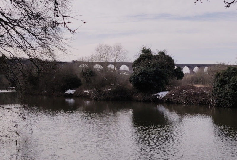
Conisbrough Viaduct
9) You’ll get glimpses through the trees of the Conisbrough Viaduct. The impressive structure has 21 arches and was opened in 1909. A picture of the ropeway built during construction is captured on the Railway Paths website. The bridge was closed to trains in 1965 but today it serves as a cycle way.
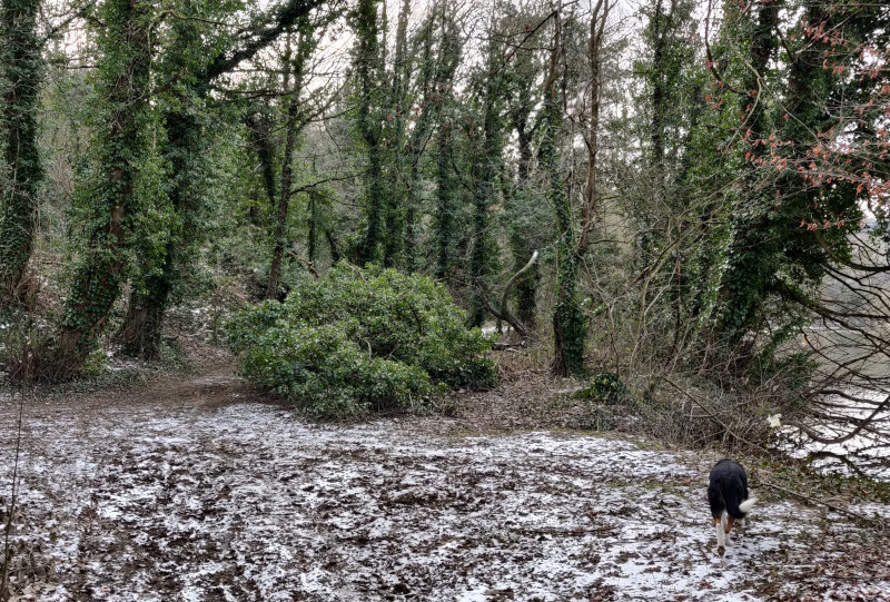
Ancient Woods
The protected ancient wood which you’re walking through are home to four of the UK’s bat species; whiskered, long-eared, Daubenton’s and Natterer’s. A large number of yew trees are also present in the ancient woodland. Yew trees can grow to be as old as 900 years old.
10) You may notice that there is a higher and lower path now. Keep to the lower path and find your find onto Windgate Hill which will lead you into Conisbrough itself. You will get a great view of the castle as you wind down through the streets. From here, have an explore.
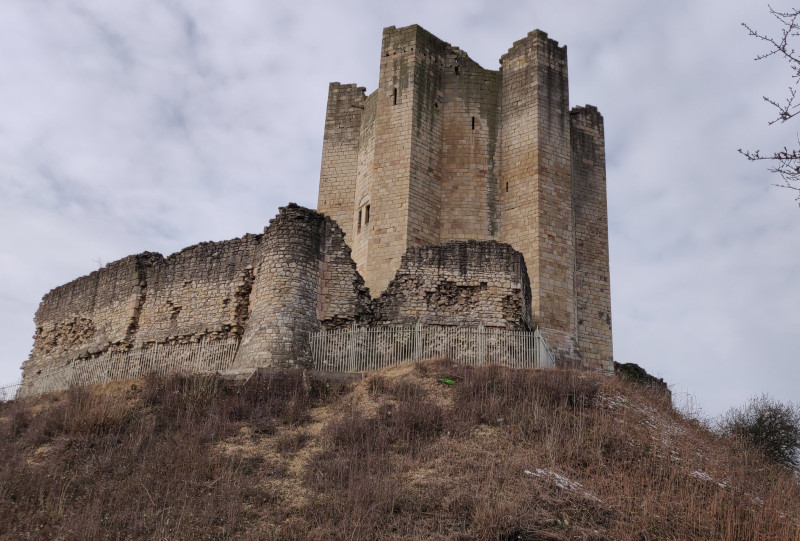
Conisbrough Castle
The magnificent stone keep is the main eye-catching feature of the castle. It was originally built around 1170s but it was originally part of the a great Norman lordship given by William the Conqueror to William de Warenne. However, by the 18th and 19th Centuries, the castle had fallen to ruins.
The history of Conisbrough goes far beyond the Norman Conquest. Throughout the Anglo-Saxon and Viking periods, Conisbrough appears to have been the most important place in South Yorkshire. How times change!
Before the Norman conquest, the estates were in the hands of King Harrold. In the 1086 Domesday Book, the estate is said to have included 28 townships from the Lincolnshire border to Harthill to the south. More information can be found on English Heritage.
Conisbrough to Edlington
11) Once you’re done exploring the castle area, make your way to the main road (A630) taking a left and then take Drake Head Lane on your right. Follow this lane up through the houses. It will eventually turn into a track with open fields on your right.
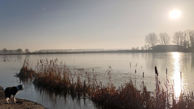
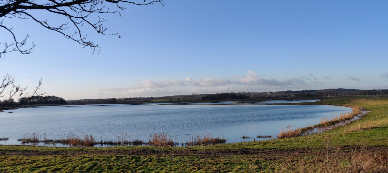
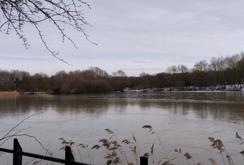
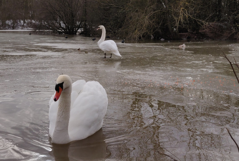
12) Follow the footpath sign to the right, crossing the fields between Conisbrough and Edlington. Keep straight and you’ll eventually arrive at a pond. This is MartinWells Lake.
MartinWells Lake
This area stands on the site of a former brickworks. The two clay pits were closed in the 1950s but the land was later used for make drainage pipes until 1970. In 1989, the area was designated a SSSI (Site of Special Scientific Interest) due to the geology; 8m of Upper Permian (261 to 251 million years ago) rock is situated at the brick pit site ( iahve yet to find the significant of this, but it’s on my homework list). In 2009, The Friends of Martinwells Lake was created ensuring that the area is kept a safe, clean beauty spot for everyone to enjoy.
13) Travel anticlockwise to the top of the lake where the picnic benches are and take the lane which leads to the main road (Edlington Lane). From here, travel along Cross Street and then up the bank (Bernard Road). At the very end of Bernard Road at the T-junction, take the left onto Clark Avenue. Take your second left and go through the gate leading onto a playing field.
14) Carry straight on across the playing field. There should be an opening in the fence. Keep walking straight along the well-defined path through Edlington Woods. You’ll find a path that takes you across a farmers field. Cross this field and at the other side of it turn right. You should have some more woods on your left and the farmers field on your right. Follow the muddy track around the edge of the field. The motorway will appear to your left and you’ll eventually come to a bridge that takes you under the motorway. Go under this bridge and carry straight on the path through and up Wadworth Woods. You’ll eventually come out at Wadworth Village.
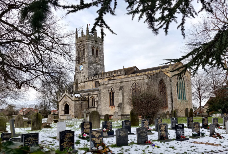
Wadworth
Wadworth has a pretty little village green with maypole outside the White Hart pub and picturesque church. The main part of the church dates back to the 12th Century with the tall west tower dating from the 15th Century. The church can be seen from miles around and makes a good landmark, especially from the iPort lakes.
15) I recommend a stop at Tweed cafe, next the the butchers on Carr Lane for it’s excellent coffee and cake. From here, walk down the main road (A60) back into Balby. You can take a slightly longer route via Loversall and the iPort lakes or once you’ve crossed over the M18 motorway bridge, take the right (Hall Balk Lane) passed the houses and left at the footpath sign, across the field and back onto the disused railway.
I’ve learnt alot when I was researching this walk, whether it was the industrial heritage and nature whilst exploring Don Gorge and Edlington or the medieval history of Conisbrough. I hope that you get chance to take part even a small section of this walk.
If you want to take your walking a step further and want to learn how to read a map, then WildWays offers map reading skills for all the family whatever you’re level. Get in touch. To keep up to date with my other walks around Balby Doncaster, further afield and other antics follow me on social.
Facebook @GemmaWildWays | Instagram @wildways_adventures